

Sign up to save your library
With an OverDrive account, you can save your favorite libraries for at-a-glance information about availability. Find out more about OverDrive accounts.
Share

Find this title in Libby, the library reading app by OverDrive.


Search for a digital library with this title
Title found at these libraries:
| Loading... |
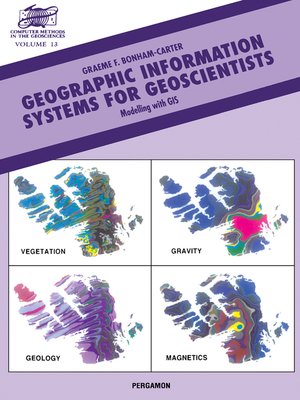
Geographic Information Systems for Geoscientists is unique in its coverage of examples from the geological sciences, many centred on applications to mineral exploration. The underlying principles of GIS are stressed and emphasis placed on the analysis and modelling of spatial data with applications to site selection and potential mapping. The book commences with a definition of GIS and describes a case study of mapping mineral potential. The ways in which spatial data are organized with models (raster, vector, relational) are discussed and data structures, such as quadtrees and topological structures are introduced. Data input including digitizing, geographic projections and conversions is covered together with output (visualization, representation of colour and spatial query). Spatial data transformations are dealt with thoroughly and attention is paid to map analysis and modelling as related to single maps, map pairs and multiple maps respectively. Methods of quantifying the associations between pairs of maps are emphasized. Finally, examples of landfill site selection and mineral potential mapping illustrate the application of map algebra for combining maps and tables with models, employing Boolean logic, index weighting, fuzzy logic and probability methods such as weights of evidence. There is an extensive glossary of terms, and references accompany each chapter. Contains 40 pages of colour illustrations.
Share


